

Airport Fire reaches full containment

Airport Fire fully contained
Investigators said the Airport Fire, which broke out Monday, Sept. 9, just before 1:30 p.m., was unintentionally caused by heavy equipment used by a public works employee.
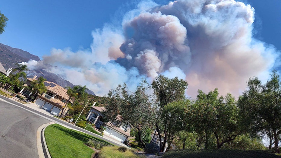
ORANGE COUNTY, Calif. - A fire that started in Orange County’s Trabuco Canyon raced over the mountain ridgeline and down into the Temescal Valley near Lake Elsinore in Riverside County, threatening thousands of homes and prompting evacuation orders and warnings for residents, is fully contained.
Investigators said the Airport Fire, which broke out Monday, Sept. 9, just before 1:30 p.m., was unintentionally caused by heavy equipment used by a public works employee.
"The fire is classified as unintentional. The cause of the fire was a spark from heavy equipment," Orange County Fire Authority (OCFA) Deputy Chief TJ McGovern said. "After placing a load of boulders, the operators began seeing smoke coming from the area of the loader's basket."
"The operator and the supervisor used multiple fire extinguishers and the loaders to attempt to extinguish the fire while 911 was being called," McGovern added.
The final update from Cal Fire indicated the fire burned 23,526 acres. 34 structures were damaged and 160 destroyed. 22 injuries were reported.

Woman flees Airport Fire in Orange County
Dramatic video shows a woman running from the flames of the Airport Fire in Orange County.

Airport Fire burns 9,000+ acres in Orange County
In an update Tuesday morning, fire officials said the Airport Fire burning in Trabuco Canyon has grown to over 9,000 acres.
The fire was further fueled by heat and winds amid a late summer heat wave.
Airport Fire (Alfonso Rupp KTTV)
According to the Orange County Fire Authority, the vegetation fire sparked on Trabuco Creek Road near the remote-controlled airplane airport.

Massive fire burns Trabuco Canyon
A massive 1,300-acre fire is burning parts of Trabuco Canyon, prompting evacuations in the area.
Evacuations
On Saturday, Sept. 21, officials announced that all evacuation orders and warnings had been lifted in both Riverside and Orange counties.
Road Closures
Hard Road Closures
- Trabuco Creek Road
- Maple Springs Road
- North Main Divide Road at Ortega Highway
- Long Canyon Road at Ortega Highway
Federal Aid
On Wednesday, Sept. 11, Gov. Gavin Newsom announced California secured a Fire Management Assistant Grant (FMAG) to bring federal resources in the firefight.
"California is continuing to see extreme fire behavior across multiple locations in Southern California, where hot, dry weather has led to rapid fire growth. We are thankful for federal support from the Biden-Harris Administration to support firefighters as they work to suppress these fires and keep people safe," Newsom said in a released statement.