

NASA releases first images from pollution-monitoring satellite in space

NASA releases first images from pollution-monitoring instrument in space
The images were taken by TEMPO, the first space-based instrument designed to continuously measure air quality above North America with the resolution of a few square miles. (Courtesy: Kel Elkins, Trent Schindler, and Cindy Starr / NASA's Scientific Visualization Studio)
NASA has shared this week the first images from TEMPO, the agency’s first space-based instrument designed to continuously measure air quality over North America, and do so with the resolution of a few square miles.
TEMPO, short for Tropospheric Emissions: Monitoring of Pollution, was launched in April on a SpaceX Falcon 9 rocket and now orbits the Earth from about 22,000 miles above the equator.
The main instrument on TEMPO is an advanced spectrometer that detects pollution normally hidden within reflected sunlight, NASA said. With this data, pollution maps are produced to show where pollution, or concentrations of nitrogen dioxide gas, is reflecting sunlight. In polluted regions, most of that nitrogen dioxide is located near the ground.
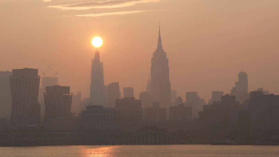
HOBOKEN, NJ - JULY 20: The sun rises behind One Vanderbilt and the Empire State Building on a hazy morning in New York City on July 20, 2023, as seen from Hoboken, New Jersey. (Photo by Gary Hershorn/Getty Images)
The first pollution maps show these concentrations of nitrogen dioxide gas – pollution – around cities and major transportation arteries of North America. They appear as patches of dark peach, plum and navy, as seen in the images below showing cities such as Washington, D.C., New York City and Los Angeles.
WHICH CITIES HAVE THE WORST AIR POLLUTION IN AMERICA?
In the map featuring Washington, D.C. and New York City, the areas outside of the cities that appear darkest are along the Interstate-95 corridor that connects the two metropolitan areas. This indicates large amounts of nitrogen dioxide gas along the heavily-traveled route.
Unprecedented level of precision
This resolution and precision of data-gathering is unprecedented. According to NASA, previous satellite instruments measured air pollution from low-Earth orbit, passing over a given location on the ground once per day. With TEMPO, however, the instrument with its geostationary orbit can continuously observe North American pollution during daylight hours.
In doing so, NASA said TEMPO is able to capture changes in emissions, chemistry and transport over the day, enabling better knowledge of pollution sources and population exposure to poor air quality.
"We are excited to see the initial data from the TEMPO instrument and that the performance is as good as we could have imagined now that it is operating in space," said Kevin Daugherty, TEMPO project manager at NASA’s Langley Research Center in Hampton, Virginia. "We look forward to completing commissioning of the instrument and then starting science research."
The science mission with TEMPO is a collaboration between NASA and the Smithsonian Astrophysical Observatory in Cambridge, Massachusetts.
Read more of this story from FOX Weather.